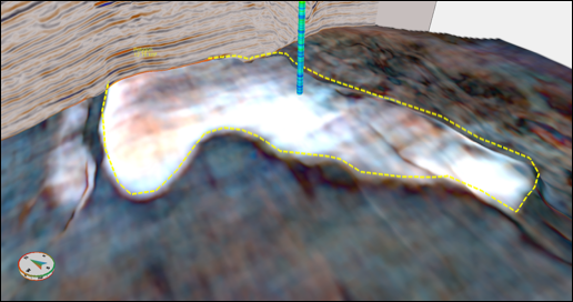
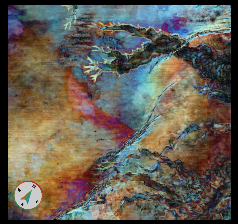
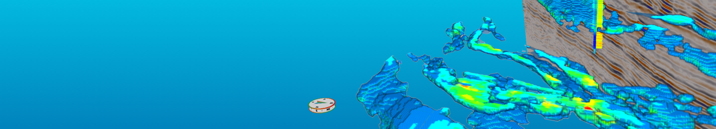
Polygons are some of the essential products of seismic interpretation. For the mapping of features and estimation of areal extents, Geoteric provides polygon interpretation tools that allow these to be captured from the rich geological ...
Our latest download draws together insights from geoscientists and academics to show how Geoteric's unique cognitive interpretation methodology enhances the seismic interpretation process.
In the second half of the second decade of the 21st century the global oil and gas industry is negotiating a major turning point. Even without the economic and ecological pressures that capture most of the headlines, change would be ...
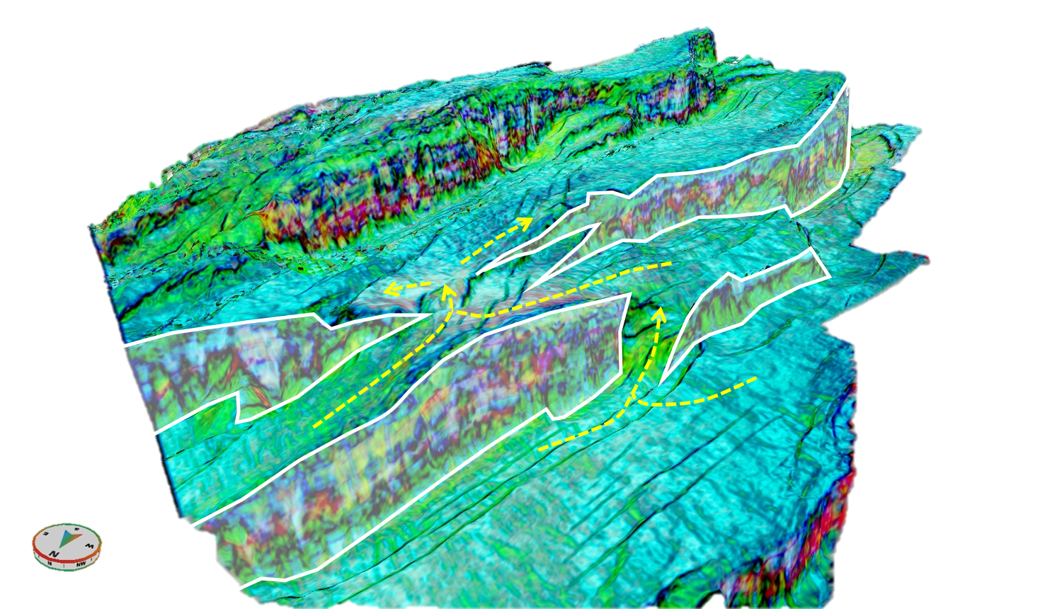
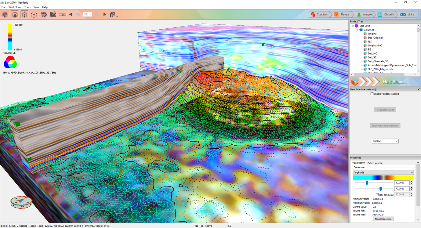
GeoTeric’s Adaptive Horizons tool allows the user to intuitively and interactively edit a tracked surface or interpretation. This is done by identifying the mis-pick in the interpretation, selecting the “3D edit” icon and re-interpreting ...
GeoTeric’s Adaptive Horizons have a variety of tracking and fill modes to allow the interpreter to extract a horizon's surface in a fast and accurate way, while being cognitively intuitive. GeoTeric’s tracking modes are interactive as all ...
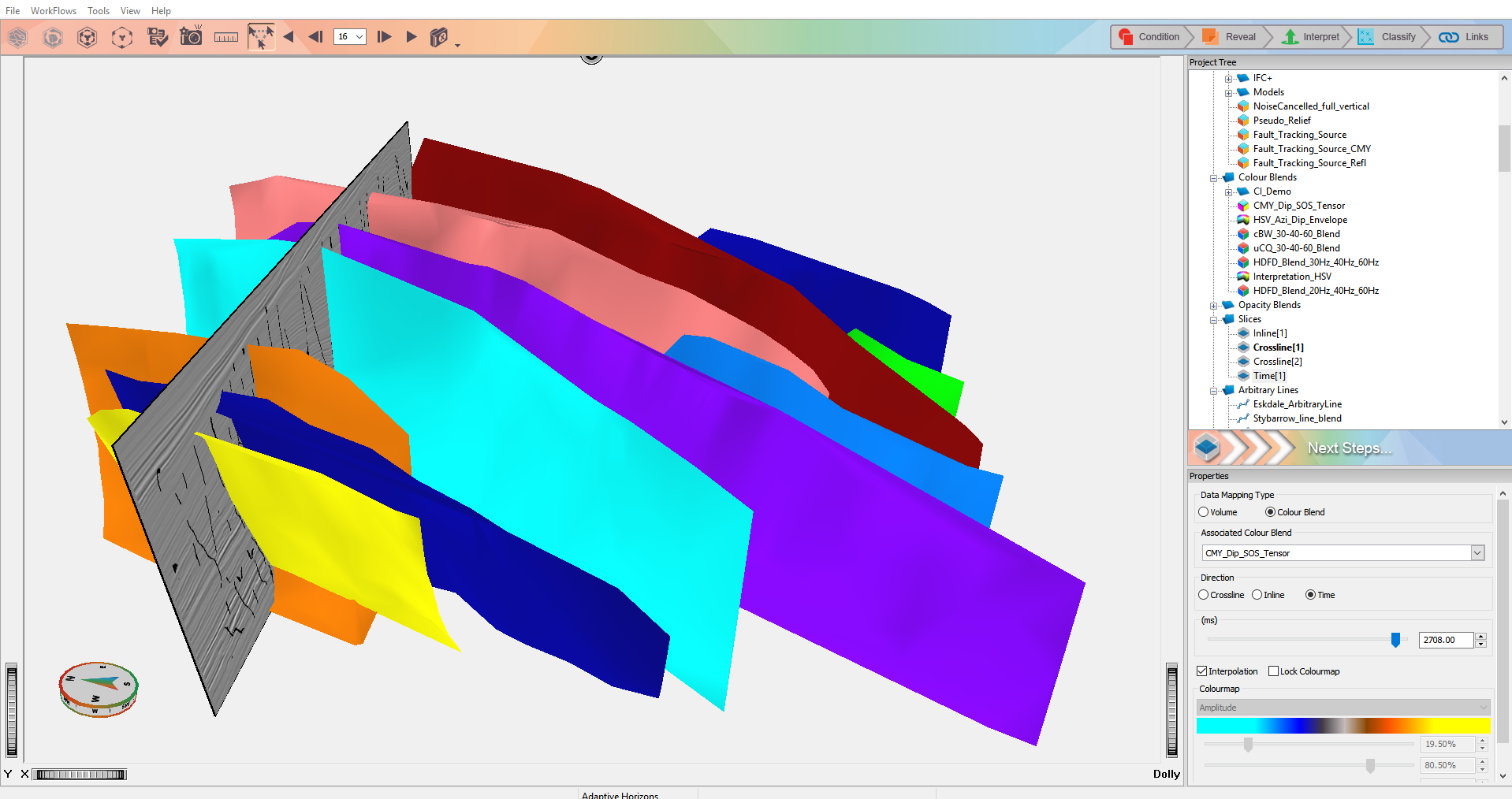
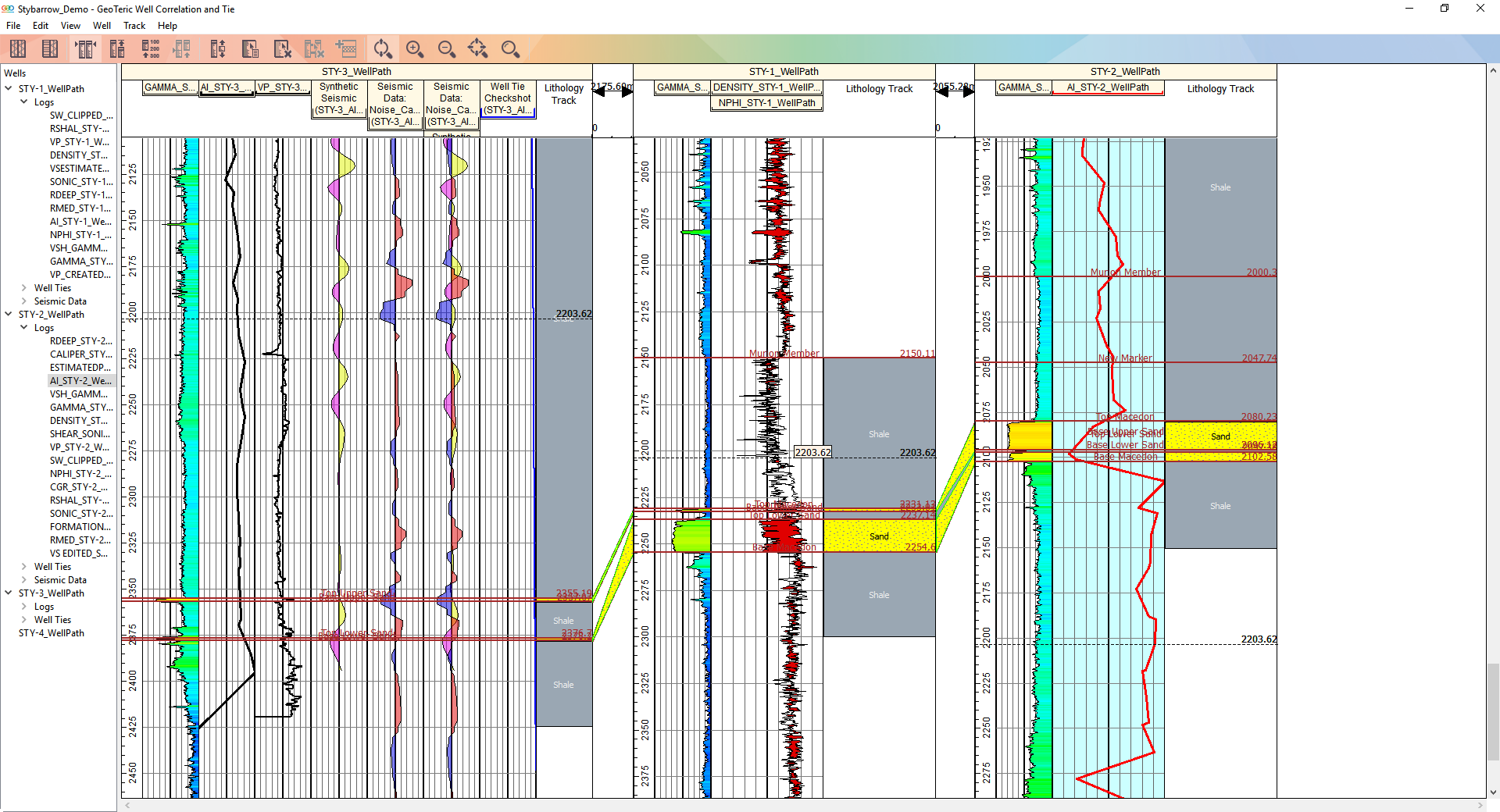
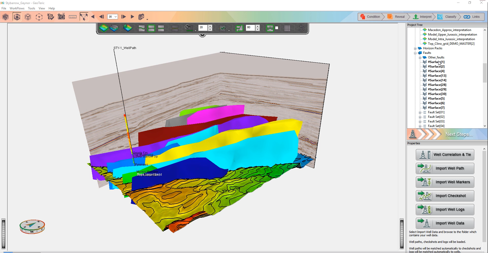
GeoTeric is closing the loop with a succession of updates this year that will simplify and shorten your whole interpretation workflow. The latest release, 2017.1, redefines horizon interpretation and simplifies well correlation and seismic ...